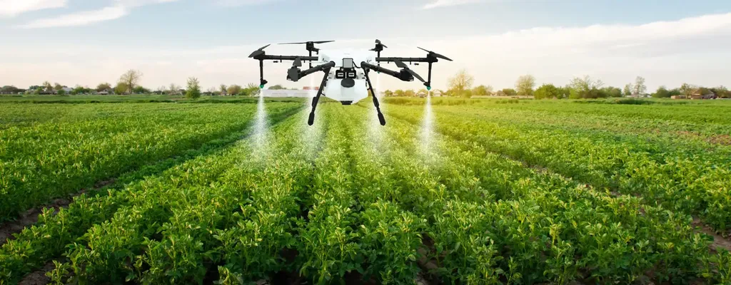
In the ever-evolving landscape of precision agriculture, a groundbreaking study has emerged that promises to revolutionize how farmers manage their crops and soil. Published in *Revista U.D.C.A Actualidad & Divulgación Científica*, the research, led by Helber Milton Orjuela-Matta of the Universidad de Ciencias Aplicadas y Ambientales U.D.C.A., introduces a drone-integrated geospatial methodology tailored for carrot crop production. This innovative approach not only enhances decision-making but also significantly reduces processing time and uncertainty, offering a beacon of hope for the agriculture sector.
At the heart of this study lies the integration of multivariable sensing devices and RGB drone imagery, processed through WebODM to generate orthomosaics at three critical phenological stages of carrot growth. The geographic coordinates were meticulously managed in QGIS, while geostatistical analysis and vegetation indices were computed using R and RStudio. The results were then interpreted geographically within QGIS, providing a comprehensive spatial understanding of soil variability.
The study’s findings are nothing short of transformative. By employing this methodology, the researchers achieved a maximum Euclidean sampling distance of 6 meters for variogram assessment, with variations between 3 and 6 meters across seven soil variables and three crop stages. This precision is a game-changer for farmers, as it allows for more accurate and timely interventions, ultimately improving crop yields and sustainability.
“Our methodology merges predictions and graphic outputs, reducing uncertainty and processing time by 50%,” Orjuela-Matta explained. “This not only enhances the efficiency of agricultural practices but also makes the process more accessible and replicable across diverse soil, crop, and climate conditions.”
The commercial impacts of this research are profound. Precision agriculture is increasingly becoming a cornerstone of modern farming, and this study provides a robust framework for implementing geospatial technologies. Farmers can now make data-driven decisions that optimize resource use, minimize environmental impact, and maximize productivity. The reduction in processing time and uncertainty means that farmers can respond more quickly to changing conditions, ensuring healthier crops and higher yields.
Moreover, the replicability of this methodology across various agricultural contexts opens up new avenues for research and application. As Orjuela-Matta noted, “The potential for improving decision-making in precision agriculture is immense. Our approach can be adapted to different crops and regions, making it a versatile tool for farmers worldwide.”
The implications for the agriculture sector are far-reaching. With the global population expected to reach 9.7 billion by 2050, the demand for food will skyrocket. Precision agriculture, bolstered by technologies like those described in this study, will be crucial in meeting this demand sustainably. By reducing waste and optimizing resource use, farmers can produce more food with fewer inputs, contributing to a more secure and resilient food system.
As the agriculture sector continues to evolve, the integration of geospatial technologies will undoubtedly play a pivotal role. This study by Orjuela-Matta and his team is a testament to the power of innovation in addressing some of the most pressing challenges in farming. By providing a clear, data-driven approach to crop management, this research paves the way for a more efficient, sustainable, and productive future in agriculture.