In the ever-evolving landscape of agricultural technology, a significant stride has been made by researchers at the Centre for Robotics and Future Production, CSIR. Their work, published in the MATEC Web of Conferences, focuses on adapting SegMap, a LiDAR place recognition framework, for standalone use in C++ applications. This advancement could potentially revolutionize the way autonomous mobile robots navigate and operate in agricultural environments.
The research, led by Maweni Thabisa, addresses a critical need in the field of robotics: accurate environmental mapping and continuous self-localisation. These capabilities are essential for robots to effectively navigate and perform tasks in various settings, including the complex and dynamic environments found in agriculture. The original SegMap framework, known for its 3D point cloud segment-based map representation, has been widely used but required modernization to meet the demands of contemporary robotics research.
Thabisa and her team developed Aru-SegMap, an adaptation of SegMap that is compatible with modern ROS2-based and standalone C++ applications. This adaptation involved modularising the original library, decoupling it from a deprecated TensorFlow C++ API and ROS1, and integrating visualisation capabilities. These enhancements have made Aru-SegMap more flexible and user-friendly, enabling greater usability for continued robotics research and development.
The integration of SegMatch, a 3D point cloud segmentation and matching library, is a key feature of Aru-SegMap. SegMatch reliably estimates a robot’s position and detects loop closures, which are crucial for accurate navigation and mapping. “The ability to consistently segment and match point clouds is a game-changer for robotics in agriculture,” Thabisa explains. “It allows robots to better understand their environment and make more informed decisions, ultimately improving their efficiency and effectiveness.”
The potential commercial impacts for the agriculture sector are substantial. Autonomous mobile robots equipped with Aru-SegMap could perform a wide range of tasks, from planting and harvesting to monitoring crop health and applying pesticides. These robots could operate with greater precision and efficiency, reducing the need for human labor and minimizing the environmental impact of agricultural practices.
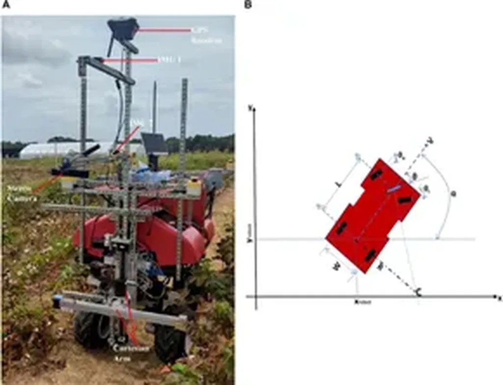
The validation of Aru-SegMap using datasets of varied agricultural environments further underscores its versatility and reliability. The framework’s ability to produce consistent segments and provide reliable localisation in diverse settings is a testament to its robustness and potential for real-world applications.
As the agriculture sector continues to embrace technological advancements, the development of Aru-SegMap represents a significant step forward. This research not only enhances the capabilities of autonomous mobile robots but also paves the way for future innovations in the field. The work of Thabisa and her team at the Centre for Robotics and Future Production, CSIR, highlights the importance of continuous research and development in robotics, ensuring that these technologies remain at the forefront of agricultural innovation.