In a groundbreaking study published in *Scientific Reports*, researchers have developed an innovative framework to assess groundwater contamination risks, offering a promising tool for the agriculture sector and beyond. By integrating intrinsic aquifer vulnerability, isotope hydrology, and geospatial pollutant loading indicators, the study provides a comprehensive approach to evaluating groundwater quality and pollution threats.
The research, led by Kamilia Hagagg of the Nuclear and Radiological Research Centre at the Egyptian Atomic Energy Authority (EAEA), combines a modified GOD index with δ1⁸O stable isotope tracers to create a two-dimensional vulnerability map. This map enables the evaluation of both vertical and lateral contaminant transport within aquifer systems, a critical advancement for understanding and mitigating groundwater pollution.
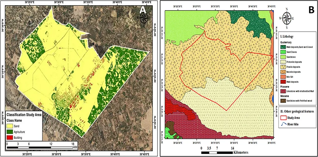
“Our study offers a nuanced and spatially explicit risk evaluation that can support evidence-based land use planning and targeted monitoring,” Hagagg explained. This integrated framework not only identifies pollution sources and loading potential through remote sensing, land use classification, and hydrochemical data interpretation but also reveals significant hydrochemical variability influenced by anthropogenic activities, salinization, and geogenic processes.
Principal Component Analysis (PCA) extracted five dominant components—geogenic, anthropogenic, salinity-driven, redox-related, and agricultural—explaining spatial and temporal patterns of groundwater quality deterioration. The δ1⁸O values ranged from 5.89 to -8.62‰, indicating diverse recharge mechanisms and pollutant retardability, which offer insights into groundwater/surface water interactions and lateral migration risks.
The GOD index values ranged from 0.04 to 0.28, classifying the area predominantly within negligible to medium vulnerability zones. Clay-rich sectors exhibited high natural protectability, while industrial impacted zones showed increased susceptibility. A fuzzy logic-based correlation between GOD scores and isotopic interpretations enhanced the aquifer vulnerability assessment, providing a more accurate and detailed risk evaluation.
This research has significant implications for the agriculture sector, where groundwater is a vital resource. By anticipating contamination threats and prioritizing high-risk zones, farmers and agricultural businesses can implement site-specific protection strategies to ensure the long-term sustainability of their water supplies. The framework also facilitates adaptive management, contributing to the resilience of aquifer systems in environmentally complex and industrially stressed regions.
As the agriculture sector faces increasing pressure to optimize water use and maintain soil health, tools like this integrated framework become invaluable. They enable proactive measures to safeguard groundwater quality, ensuring that agricultural practices remain sustainable and productive.
The study’s findings pave the way for future developments in groundwater risk characterization, offering a robust method for contamination threat anticipation and targeted monitoring. By integrating established tools and innovative approaches, this research supports the long-term sustainability of aquifer systems, benefiting not only the agriculture sector but also broader environmental and public health initiatives.