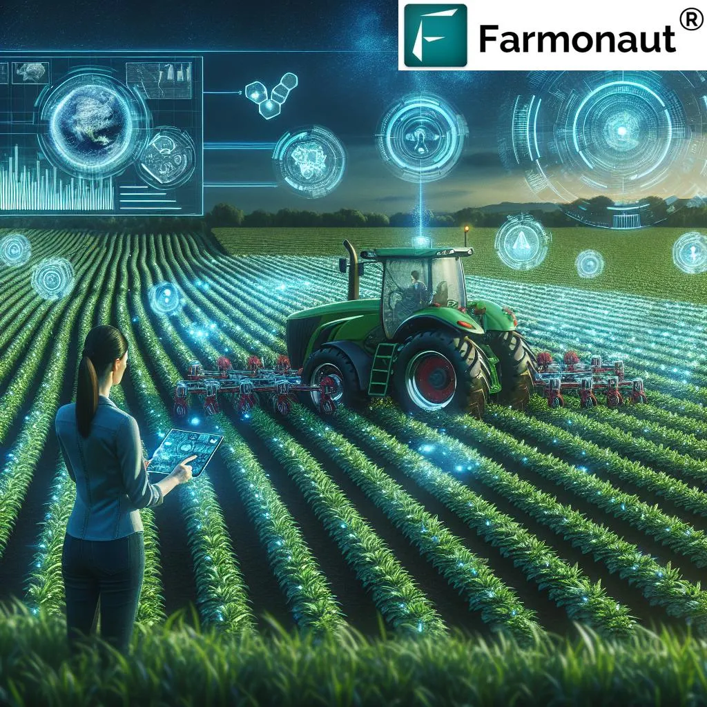
In the heart of Guangdong Province, a groundbreaking study is transforming how we monitor and manage cultivated land, offering a beacon of hope for modern agriculture. Researchers from the College of Natural Resources and Environment at South China Agricultural University have developed a novel method to extract cultivated land reserve resources with unprecedented precision. This method, published in *Huanan Nongye Daxue xuebao*, combines object-oriented rule construction with deep learning, setting a new standard for land resource dynamic monitoring.
The study, led by Yang Yu, focuses on Yuncheng District in Yunfu City. By leveraging GF-6 high-resolution satellite imagery, the team performed multi-scale image segmentation and applied a stepwise elimination method to construct land classification identification rules. This approach allowed them to extract samples of typical land types and construct a training label dataset for the U-Net deep learning model. The result? A method that achieves an overall precision of 87.3%, with a mean intersection over union of 75.4% and an F1 score of 86.7%.
“This method not only improves the efficiency and precision of cultivated land reserve resource information extraction but also provides robust support for local land use planning, cultivated land resource management, and ecological conservation,” said Yang Yu, the lead author of the study.
The implications for the agriculture sector are profound. Accurate and timely monitoring of cultivated land is crucial for sustainable agricultural development. Traditional methods often fall short in handling complex feature boundaries and mixed pixels, leading to misclassification and inefficiency. The integration of object-oriented rule construction with deep learning addresses these challenges head-on, offering a more reliable and efficient solution.
“The deep learning approach based on the improved U-Net effectively reduces misclassification, particularly in areas with blurred boundaries and mixed pixels,” explained Yu. “This improvement translates to a significant boost in precision, approximately 5 percentage points higher than traditional object-oriented methods.”
For farmers and agricultural businesses, this means better land use planning and management. Accurate monitoring of cultivated land resources can lead to more informed decisions, optimizing crop yields and reducing waste. It also supports ecological conservation efforts, ensuring that agricultural practices are sustainable and environmentally friendly.
The study’s findings open up new avenues for future research and development in the field of remote sensing and agricultural technology. As the demand for food continues to grow, the need for efficient and precise land resource management becomes ever more critical. This research provides a solid foundation for future innovations, paving the way for smarter, more sustainable agricultural practices.
In an era where technology and agriculture are increasingly intertwined, this study serves as a testament to the power of innovation. By harnessing the capabilities of remote sensing and deep learning, we can unlock new potentials for the agriculture sector, ensuring a more secure and sustainable future for all.