In the heart of India’s arid and semi-arid regions, where agriculture is both a way of life and a economic mainstay, the specter of drought looms large. Timely and accurate monitoring of drought conditions is not just a scientific endeavor but a critical necessity for farmers and policymakers alike. A recent study published in *Meteorological Applications* offers promising insights into how satellite-based remote sensing indices can be harnessed to monitor agricultural drought more effectively, particularly in the Saurashtra region of Gujarat.
The research, led by Jinal Nishant Shastri of the Civil Engineering Department at The Maharaja Sayajirao University of Baroda, evaluates the efficacy of three remote-sensing-based drought indices: the Vegetation Condition Index (VCI), the Temperature Condition Index (TCI), and the Vegetation Health Index (VHI). These indices are computed using data from the Moderate Resolution Imaging Spectroradiometer (MODIS), specifically the Normalized Difference Vegetation Index (NDVI) and Land Surface Temperature (LST).
One of the key findings of the study is that the VHI shows the strongest correlation with the Standardized Precipitation Index (SPI) for a 6-month reference period, a metric widely recommended for agricultural drought assessment. “VHI effectively captures the intensity and extent of drought, as it integrates both vegetation and thermal stress,” Shastri explains. This integration is crucial for providing a comprehensive picture of drought conditions, which can be invaluable for farmers and agricultural stakeholders.
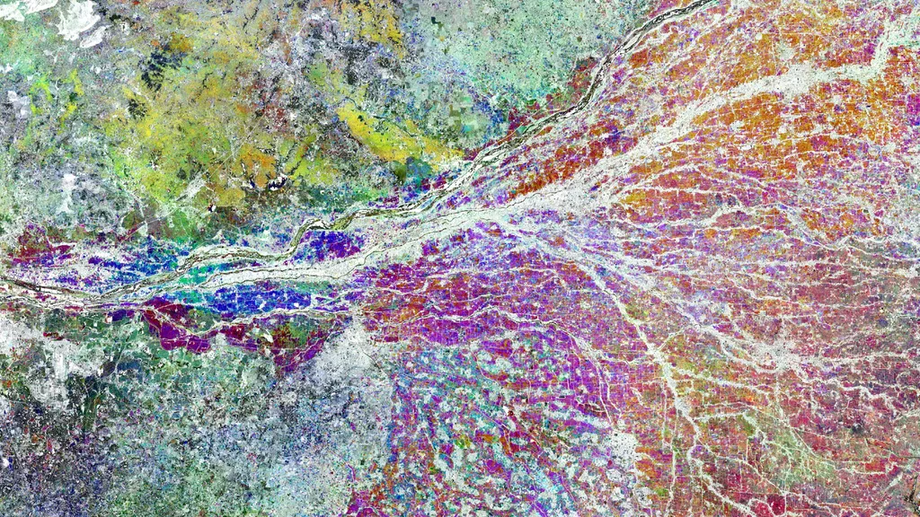
The study also highlights the importance of comparing drought indices between different years. By analyzing data from 2002, a year identified as a drought year by the India Meteorological Department (IMD), and 2023, considered a normal reference year, the researchers were able to demonstrate the spatial distributions and index values more clearly. This temporal comparison underscores the potential of VHI as a reliable indicator of drought severity and spatial extent.
For the agriculture sector, the implications of this research are significant. Accurate and timely drought monitoring can support strategies that mitigate the adverse impacts of drought on crop production and livelihoods. “Integrating VHI with soil-moisture data could yield an even more robust composite drought index,” Shastri suggests. This enhanced monitoring capability could empower farmers with the information they need to make informed decisions, ultimately improving crop yields and economic outcomes.
As climate change continues to exacerbate drought conditions in arid and semi-arid regions, the need for advanced monitoring tools becomes ever more pressing. This study not only provides a valuable contribution to the scientific community but also offers practical solutions that can be implemented on the ground. By leveraging satellite-based remote sensing indices, farmers and policymakers can better prepare for and respond to the challenges posed by agricultural drought.
The research, led by Jinal Nishant Shastri of the Civil Engineering Department at The Maharaja Sayajirao University of Baroda and published in *Meteorological Applications*, underscores the potential of remote sensing in shaping the future of agricultural drought monitoring. As we move forward, the integration of these advanced technologies into agricultural practices could pave the way for more resilient and sustainable farming communities.