In the vast, rugged landscapes of the southeastern Qinghai–Tibet Plateau, a critical environmental challenge is unfolding. Arsenic contamination in cultivated soils poses significant risks to agricultural productivity and food safety. A recent study published in *Agronomy* sheds light on this issue, offering insights that could reshape how we monitor and manage soil health in high-altitude regions.
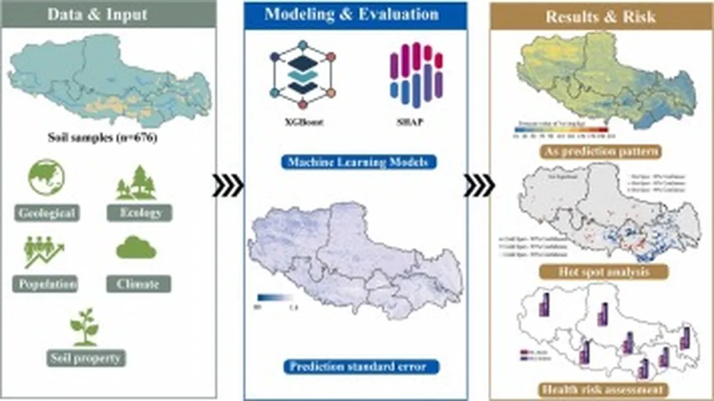
The research, led by Yilong Yu of the Agro-Environmental Protection Institute at the Chinese Academy of Agricultural Sciences, investigates the spatial heterogeneity of arsenic concentrations in cultivated soils. By deploying multi-level grid sampling and random sampling techniques, the team collected data from 612 monitoring sites, creating seven datasets with varying sampling densities. Their findings reveal alarming levels of arsenic enrichment, with concentrations reaching 3.6 times the national soil background value and 2.4 times the plateau soil background value.
One of the study’s key contributions is the comparison of different statistical methods for evaluating arsenic concentrations. The geometric mean evaluation emerged as the most reliable, with an average uncertainty of just 4.3% across different sampling densities. “The geometric mean provides a more accurate assessment of arsenic pollution risk, reducing the uncertainty in ecological environment evaluations,” Yu explains.
The study also highlights significant directional anisotropy in arsenic distribution, with the strongest spatial correlation occurring along the northwest–southeast direction. The spatial autocorrelation distance in the vertical direction was found to be 2.39 times greater than in other directions, indicating a pronounced quadratic trend.
For the agriculture sector, these findings have profound implications. Accurate assessment of arsenic pollution risk is crucial for ensuring food safety and maintaining agricultural productivity. The study suggests that increasing sampling density is essential for precise risk assessments, but it is not the only factor influencing spatial variability. “A moderate sampling density of 20 points per square kilometer was determined to be optimal,” Yu notes. This density provides a cost-effective balance between accuracy and practicality, offering a basis for dynamic monitoring of arsenic as a risk element in plateau environments.
The research also offers valuable guidance for developing countries with limited and fragmented agricultural land areas. By providing a robust methodology for assessing arsenic contamination, the study can help these nations implement effective monitoring strategies and mitigate potential risks to their agricultural sectors.
As the world grapples with the challenges of climate change and environmental degradation, studies like this one are more important than ever. By advancing our understanding of soil health and pollution risks, we can develop more sustainable and resilient agricultural practices. The insights gained from this research will undoubtedly shape future developments in precision agriculture, ensuring a safer and more productive future for farmers worldwide.