In the heart of Indonesia’s dry season, a groundbreaking study is unfolding, one that could revolutionize how we assess drought damage in rice fields. Researchers, led by Yuti Giamerti from the National Research and Innovation Agency, are harnessing the power of Unmanned Aerial Vehicles (UAVs) to evaluate drought damage in rice crops using simple RGB aerial images. The implications for the agriculture sector, particularly in regions prone to drought, are substantial.
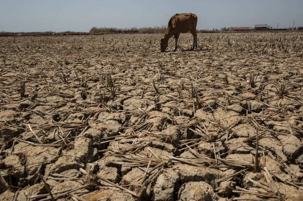
The study, published in the journal ‘Agritech’, focuses on the use of RGB images captured by UAVs to assess drought damage through canopy color and coverage. The research was conducted at the Balitkabi Experimental field in Probolinggo, Indonesia, using a split-plot experimental field design with various drought treatments and rice varieties. The results are promising, indicating that UAVs can provide quick and quantitative assessments of drought damage, which could be a game-changer for agricultural insurance and crop management.
“Quick assessment by UAV was still an effective tool,” Giamerti noted, highlighting the potential of this technology to streamline the evaluation process. The study found that assessing drought damage through canopy color was more effective than using canopy coverage, a finding that could guide future research and practical applications.
One of the key advancements in this study is the conversion from RGB to Lab color space, which increased the determination coefficient in multiple regression of color values against temperature difference. This technical improvement enhances the accuracy of drought damage assessments, making the method more reliable for commercial use.
The commercial impacts of this research are significant. For the agriculture sector, particularly in regions like Indonesia and other countries with similar climates, the ability to quickly and accurately assess drought damage can lead to more informed decision-making. Farmers can better manage their crops, and insurance companies can provide more accurate coverage based on real-time data. This could ultimately lead to more stable food supplies and economic benefits for farmers.
Looking ahead, this research opens up new avenues for the use of UAVs in agriculture. As Giamerti explains, “Although the effect on yield needed to be evaluated, quick assessment by UAV was still an effective tool.” Future studies could explore the direct impact on yield and refine the methods for even greater accuracy. The integration of UAV technology with other advanced tools, such as machine learning algorithms, could further enhance the capabilities of these systems.
In conclusion, the study led by Yuti Giamerti from the National Research and Innovation Agency’s Research Organization for Agriculture and Food, based at the Cibinong Science Center, represents a significant step forward in the use of UAVs for agricultural assessments. The findings published in ‘Agritech’ offer a glimpse into a future where technology plays a crucial role in ensuring food security and economic stability for farmers worldwide. As the agriculture sector continues to evolve, the integration of innovative technologies like UAVs will be essential in addressing the challenges posed by climate change and other environmental factors.