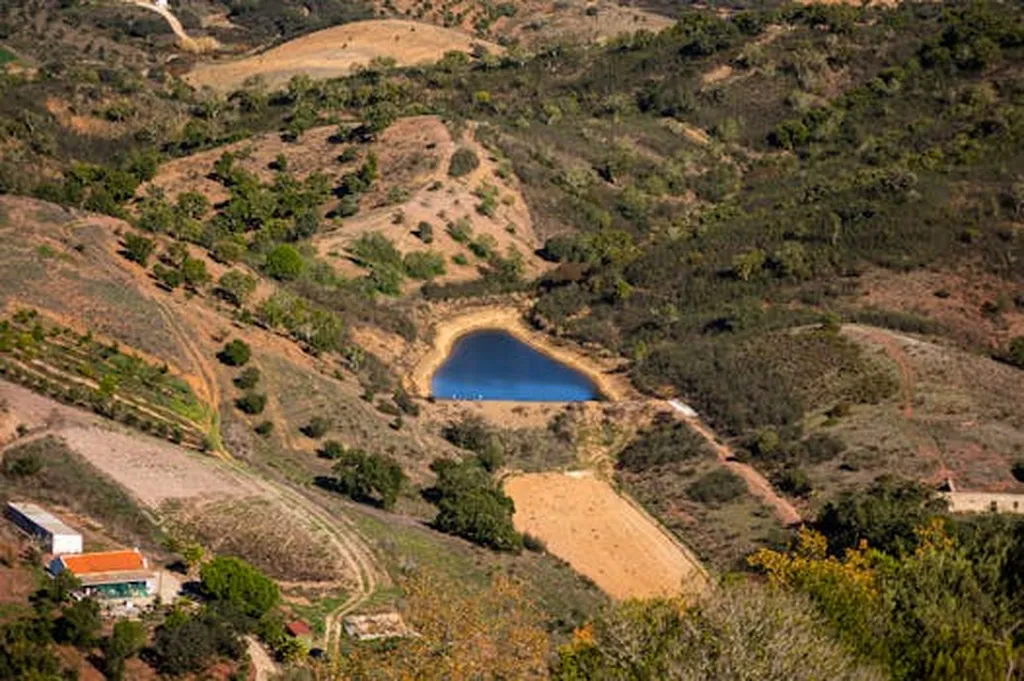
In the heart of southern Portugal, a vast transformation is underway. The Alqueva reservoir, one of Europe’s largest artificial lakes, has spurred an agricultural revolution, turning arid landscapes into thriving irrigated fields. This rapid transition from annual to permanent crops has necessitated a more nuanced approach to crop mapping, a challenge that Manuel Quintela and his team at the Instituto Superior de Agronomia, Universidade de Lisboa, have tackled head-on.
Their recent study, published in *Remote Sensing*, refines the European Union’s Crop Map 2018 by distinguishing permanent crop types using advanced machine learning models and Sentinel satellite imagery. The EU Crop Map 2018, while groundbreaking in its attempt to map annual crops across the EU, lumped permanent crops into a broad category of “shrublands and woodlands.” Quintela’s work seeks to change that.
“Our goal was to create a more detailed and accurate map that could support better management, policy development, and biodiversity conservation in these rapidly changing landscapes,” Quintela explains. The team’s automated machine learning model achieved an impressive 91% overall accuracy, effectively identifying almond groves and distinguishing between three major olive grove cultivation systems. However, the model struggled slightly with vineyards and other permanent crops, highlighting the complexity of these landscapes.
The study’s implications for the agriculture sector are significant. Accurate crop mapping can inform irrigation strategies, optimize resource allocation, and support sustainable farming practices. As Quintela notes, “Understanding the specific types of permanent crops in an area can help farmers make informed decisions about planting, harvesting, and managing their lands.”
The research also underscores the importance of addressing class imbalance in agricultural land cover mapping. While the model maintained high overall accuracy even with a reduced training dataset, underrepresented classes saw a notable drop in performance. This finding emphasizes the need for comprehensive and balanced datasets to ensure accurate and reliable mapping.
Looking ahead, this study could shape future developments in agritech by promoting the integration of advanced remote sensing and machine learning techniques into agricultural practices. As the field continues to evolve, the insights gained from this research could pave the way for more precise and efficient crop monitoring systems, ultimately benefiting farmers, policymakers, and conservationists alike.
Quintela’s work, published in *Remote Sensing* and affiliated with the Instituto Superior de Agronomia, Universidade de Lisboa, represents a significant step forward in the quest for more accurate and detailed agricultural mapping. By refining the EU Crop Map classification, this research not only supports the immediate needs of the agriculture sector but also lays the groundwork for future innovations in the field.