In the heart of Shanghai, a team of researchers led by Tianrui Quan from the School of Mechanical Engineering at Shanghai Jiao Tong University is tackling one of the most pressing challenges in precision agriculture: navigating agricultural robots through the labyrinthine structures of greenhouses. Their work, recently published in the journal ‘Agronomy’, offers a promising solution to a problem that has long plagued the industry.
The challenge is clear: GPS signals often fail indoors, and the weakly structured environments of greenhouses make it difficult for robots to perceive and navigate their surroundings. To address this, Quan and his team have developed an integrated framework that combines real-time semantic reconstruction and path planning. This framework is designed to enhance the perception and navigation capabilities of agricultural robots, enabling them to operate more effectively in greenhouse environments.
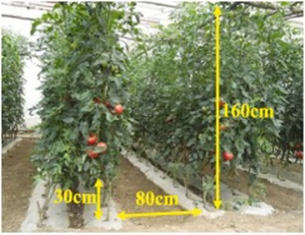
The framework comprises three core components. First, it introduces a semantic segmentation method tailored for greenhouse environments. This method enhances the recognition accuracy of key navigable areas, such as furrows, which are crucial for the robots’ navigation. Second, it designs a visual-semantic fusion SLAM (Simultaneous Localization and Mapping) point cloud reconstruction algorithm. This algorithm allows the robots to create a detailed map of their surroundings in real-time, even in the absence of GPS signals. Finally, the framework develops a semantic-constrained A* path planning algorithm adapted for semantic maps. This algorithm enables the robots to plan their paths more effectively, avoiding obstacles and navigating through the greenhouse with greater precision.
The results of the study are impressive. The segmentation algorithm achieves an accuracy of 95.44% and a mean Intersection over Union (mIoU) of 87.93%, with a 3.9% improvement in furrow category recognition accuracy. The reconstructed point cloud exhibits an average relative error of 7.37% on furrows. In practical greenhouse validation, single-frame point cloud fusion took approximately 0.35 seconds, while path planning was completed in under 1 second. Feasible paths avoiding crops were successfully generated across three structurally distinct greenhouses.
“This framework can stably and in real-time accomplish semantic mapping and path planning, providing effective technical support for digital agriculture,” said Quan. The implications of this research are significant for the agriculture sector. By enabling robots to navigate greenhouses more effectively, the framework can enhance the efficiency and productivity of agricultural operations. This can lead to reduced labor costs, increased crop yields, and improved overall farm management.
The research also opens up new possibilities for the future of precision agriculture. As Quan explains, “The framework can be extended to other agricultural environments, such as orchards and fields, where GPS signals are also weak or unavailable.” This could revolutionize the way farms are managed, making them more efficient, sustainable, and productive.
Moreover, the framework’s ability to generate detailed maps of greenhouse environments in real-time can provide valuable data for farm management. This data can be used to monitor crop health, optimize irrigation and fertilization, and detect pests and diseases early. This can lead to more targeted and effective agricultural practices, reducing waste and environmental impact.
In conclusion, the research led by Tianrui Quan and his team at Shanghai Jiao Tong University represents a significant advancement in the field of precision agriculture. By addressing the challenges of perception and navigation in greenhouse environments, the framework offers a promising solution that can enhance the efficiency and productivity of agricultural operations. As the agriculture sector continues to evolve, this research provides a glimpse into the future of digital agriculture, where robots and advanced technologies play a central role in farm management.