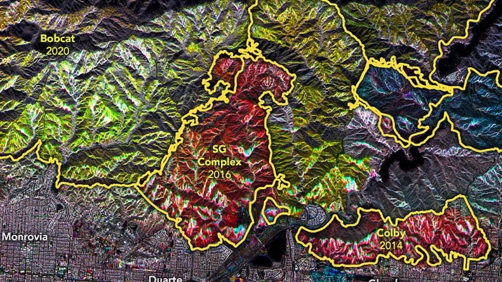
In the heart of Iraq’s Nineveh Governorate, a pioneering study is shedding light on the devastating impact of fires on agricultural lands, offering a beacon of hope for farmers and agritech innovators alike. Researchers, led by Taha A.T. D. AlJawwadi, have harnessed the power of spectral indices and satellite data to monitor and evaluate fire-damaged areas, providing a robust tool for land management and recovery.
The study, published in ‘The Iraqi Journal of Agricultural science’, focused on a 250.34 km² area, utilizing Landsat8 Operational Land Imagery (OLI) satellite images captured in June and July 2019. By employing spectral indices such as the Normalized Difference Vegetation Index (NDVI), the Soil-Adjusted Vegetation Index (SAVI), and the Normalized Burning Ratio index (NBR), the team was able to pinpoint burned areas and assess the severity of the damage.
“By analyzing the discrepancies in spatial data captured close in time, we can determine the areas affected by fires and the extent of their impact,” AlJawwadi explained. This method not only helps in identifying the affected regions but also aids in quantifying the damage, which is crucial for insurance claims and government assistance.
The research revealed that the area affected by very severe degradation due to fires increased to 39.29%, with the Land Surface Temperature (LST) rising from 47.70 to 48.39 degrees Celsius. These findings underscore the urgent need for effective fire management strategies in agricultural areas.
The commercial implications of this research are substantial. Farmers can use these spectral indices to assess the damage to their crops and make informed decisions about replanting and resource allocation. Insurance companies can also benefit from this technology by accurately evaluating claims and providing timely support to affected farmers.
Moreover, this study paves the way for future developments in precision agriculture. By integrating spectral indices and satellite data into agricultural management systems, farmers can monitor their lands in real-time, detect early signs of stress or damage, and take proactive measures to mitigate losses.
As the agricultural sector continues to grapple with the challenges posed by climate change and natural disasters, innovative solutions like those offered by AlJawwadi and his team are more critical than ever. By leveraging the power of remote sensing and GIS technology, we can build a more resilient and sustainable future for agriculture.
The study, led by Taha A.T. D. AlJawwadi and published in ‘The Iraqi Journal of Agricultural science’, represents a significant step forward in the fight against agricultural fires and their devastating impacts. As we look to the future, the integration of spectral indices and satellite data into agricultural practices holds immense promise for enhancing productivity, sustainability, and resilience in the face of adversity.