In the heart of Iraq’s Babil Governorate, a groundbreaking study is reshaping how we think about rural development. Researchers have established a spatial database that could revolutionize decision-making processes, particularly in the agriculture sector. The study, published in ‘Maǧallaẗ al-baṣraẗ al-ʻulūm al-zirāʻiyyaẗ’, leverages multi-criteria evaluation (MCE) methods integrated with geographic information systems (GIS) to assess land suitability for development.
The research, led by Rasha Q. Luaibi from the Center of Urban and Regional Planning for Post graduate Studies at the University of Baghdad, focuses on the Al-Musayyib and Al-Hashimiyah districts. By analyzing spatial criteria such as soil type, topography, natural resources, and proximity to infrastructure, the study provides a robust framework for identifying optimal areas for agricultural and industrial development.
“Combining spatial analysis and multi-criteria decision-making creates a strong basis for supporting rural planning policies,” Luaibi explains. This approach not only aids in better resource allocation but also ensures sustainable development in rural areas.
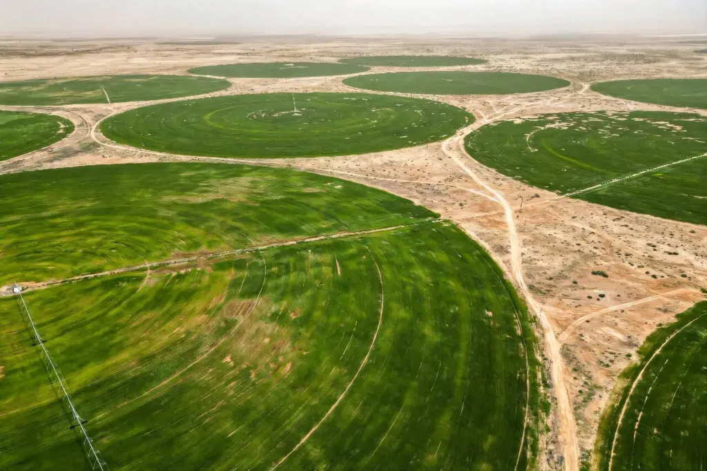
The findings are particularly significant for the agriculture sector. Al-Musayyib district, with its fertile alluvium soil and abundant water resources, emerges as the most suitable area for agricultural development. This could pave the way for targeted investments and infrastructure development, boosting productivity and economic growth in the region.
Moreover, the study highlights the strategic importance of Al-Musayyib district for industrialization due to its location and existing infrastructure. This dual suitability for both agriculture and industry could foster a balanced and sustainable rural economy.
The spatial database recommended by the study serves as a crucial tool for local governments. It enables better allocation of resources and supports sustainable development initiatives. As we look to the future, this research could shape how we approach rural development, ensuring that decisions are data-driven and tailored to the unique needs of each region.
In an era where sustainable and efficient resource management is paramount, this study offers a blueprint for rural development that is both innovative and practical. By harnessing the power of spatial analysis and multi-criteria decision-making, we can create rural centers that thrive economically and environmentally.