In the vast landscapes of rural China, a new tool is emerging that could revolutionize how we understand and interact with rural communities. Researchers have recently published a high-resolution spatial dataset in *Scientific Data* that maps individual rural household courtyards and rooftops in northern China with unprecedented detail. This dataset, extracted using deep learning techniques, offers a granular view of rural settlement structures, potentially unlocking new opportunities for sustainable development and agricultural innovation.
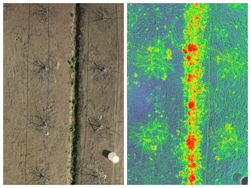
The dataset, led by Gengyuan Liu from the State Key Laboratory of Regional Environment and Sustainability at Beijing Normal University, leverages sub-meter remote sensing imagery and convolutional neural networks to identify and delineate residential courtyards and rooftops. This level of detail is a game-changer for researchers and policymakers, providing a micro-scale perspective that was previously unavailable.
“By automating the identification of rural homesteads and their associated structures, we can now analyze food-energy-water systems with much greater precision,” Liu explains. This precision is crucial for understanding the intricate dynamics of rural life and planning for sustainable development.
For the agriculture sector, the implications are significant. The rooftop layer of the dataset, for instance, can be used to assess the potential for solar photovoltaic installations, a burgeoning area in agrivoltaics where solar panels are integrated with agricultural practices. This dual-use approach can enhance energy production while minimizing land use competition, a win-win for farmers and energy providers alike.
Moreover, the courtyard layer offers insights into household-level agricultural practices and land management. By understanding the layout and use of these spaces, researchers can identify patterns and trends that inform better land use policies and practices. This could lead to more efficient use of resources, improved crop yields, and enhanced sustainability in rural communities.
The commercial impacts of this research are far-reaching. Farmers and agribusinesses can leverage this data to optimize their operations, from planning irrigation systems to integrating renewable energy solutions. Policymakers can use the dataset to design more effective rural development strategies, ensuring that resources are allocated where they are most needed.
Looking ahead, this research could shape the future of rural revitalization and resource management. As Liu notes, “This dataset fills a critical gap in micro-scale rural data, offering significant value for researchers and policymakers focused on rural revitalization, resource management, and environmental planning.”
The open availability of this dataset means that its benefits can be widely shared, fostering collaboration and innovation across disciplines. As we continue to grapple with the challenges of sustainable development, tools like this one will be invaluable in guiding our efforts and ensuring a brighter future for rural communities.