In a groundbreaking development for hydrological and agricultural sciences, researchers have created a seamless, high-resolution evapotranspiration (ET) dataset covering China from 2001 to 2020. This innovation, published in the *IEEE Journal of Selected Topics in Applied Earth Observations and Remote Sensing*, leverages advanced satellite data and machine learning to provide daily ET measurements with unprecedented accuracy. The implications for water resource management and climate change research are profound, particularly for the agriculture sector, where water usage efficiency is critical.
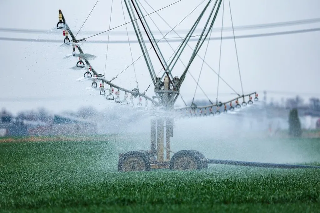
Evapotranspiration, the process by which water is transferred from the land to the atmosphere by evaporation from the soil and other surfaces and by transpiration from plants, is a key component of the water cycle. Accurate ET data is essential for understanding drought conditions, managing irrigation, and predicting crop yields. However, until now, no daily ET product based on thermal infrared satellite data and two-source energy balance (TSEB) models has been routinely available for China.
The research team, led by Gengle Zhao from the Key Laboratory of Earth Surface Processes and Regional Response in the Yangtze-Huaihe River Basin at Anhui Normal University, developed a novel approach combining the two-source energy balance model coupled to soil moisture (TSEB-SM) with a deep neural network-based reconstruction method (DNN-ETo). This combination allows for the generation of a seamless ET dataset with a spatial resolution of 0.01° and a temporal resolution of daily measurements.
“The integration of TSEB-SM and DNN-ETo has enabled us to produce a highly accurate and continuous ET dataset,” said Zhao. “This dataset not only aligns well with ground measurements across various land cover types but also provides more reasonable values in arid and semiarid regions, where traditional methods often fall short.”
The dataset’s accuracy was validated against ground measurements, showing an RMSE (root mean square error) of 1.02 mm day⁻¹, a bias of -0.17 mm day⁻¹, an NSE (Nash-Sutcliffe efficiency) of 0.51, and a KGE (Kling-Gupta efficiency) of 0.73. These metrics indicate a strong agreement between the satellite-derived ET data and actual measurements, making the dataset a reliable tool for researchers and practitioners.
For the agriculture sector, the implications are significant. Accurate ET data can help farmers optimize irrigation schedules, reduce water waste, and improve crop yields. “This dataset is a game-changer for water resource management,” said a water resource management expert who reviewed the study. “It provides the detailed, high-resolution information needed to make informed decisions about water usage, particularly in regions facing water scarcity.”
Beyond agriculture, the dataset has the potential to enhance climate change research. By providing a long-term, high-resolution record of ET, researchers can better understand the impacts of climate change on the water cycle and develop strategies to mitigate its effects. “This dataset is a valuable resource for climate scientists,” said a climate researcher. “It allows us to study the interplay between evapotranspiration and climate variables, providing insights into how our environment is changing.”
The TSEB-SM ET product is freely available online, making it accessible to researchers, policymakers, and practitioners worldwide. As the world grapples with the challenges of climate change and water scarcity, this innovative dataset offers a powerful tool for understanding and managing our precious water resources.