In a significant stride towards enhancing agricultural water management, researchers have developed a novel framework that integrates remote sensing and reanalysis data to estimate irrigation water use (IWU) with unprecedented accuracy and spatial resolution. This breakthrough, published in *Agricultural Water Management*, promises to revolutionize how we understand and manage water resources in agriculture, particularly in regions like China where water scarcity and intensive farming coexist.
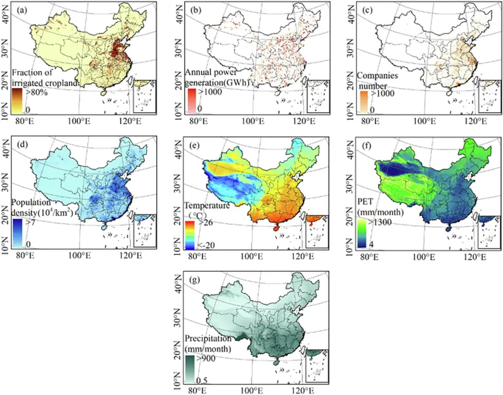
The study, led by Ling Zhang from the Key Laboratory of Cryospheric Science and Frozen Soil Engineering at the Northwest Institute of Eco-Environment and Resources, Chinese Academy of Sciences, addresses a critical gap in current irrigation monitoring. Traditional methods often fall short in providing detailed, large-scale estimates of IWU due to limitations in satellite observations and methodological constraints. Zhang and her team have tackled this challenge by combining satellite-based soil moisture and evapotranspiration (ET) products with reanalysis data, creating two models—one based on root zone soil moisture (RSM) and the other on surface soil moisture (SSM).
These models estimate IWU by comparing soil moisture, ET, and drainage between natural and irrigated conditions. The results are impressive, with the models achieving coefficients of determination (R²) between 0.72 and 0.90 and root mean square errors (RMSE) of 0.55–0.66 km³/year during validation. “This level of accuracy and spatial detail is a game-changer for agricultural water management,” Zhang explains. “It allows us to pinpoint exactly where and how much water is being used for irrigation, which is crucial for sustainable farming practices.”
The framework’s ability to produce ensemble IWU estimates at a 1 km resolution across China reveals a clear increasing trend in IWU from 2001 to 2020. This trend is primarily driven by the expansion of irrigated areas, while interannual variability is largely controlled by fluctuations in IWU per unit irrigated area. Such detailed insights can help policymakers and farmers make informed decisions about water allocation and irrigation practices, ultimately improving water use efficiency and crop yields.
The commercial impacts of this research are substantial. For the agriculture sector, having access to precise, spatially explicit IWU data means better resource management, reduced water waste, and improved crop productivity. Farmers can optimize irrigation schedules and techniques based on real-time data, leading to cost savings and environmental benefits. Additionally, the framework can be adapted to other regions, making it a valuable tool for global agricultural water management.
Looking ahead, this research could shape future developments in the field by encouraging the integration of multiple data sources and advanced modeling techniques. As Zhang notes, “The potential applications of this framework extend beyond China. By refining our models and incorporating more diverse datasets, we can enhance our understanding of global water use and contribute to more sustainable agricultural practices worldwide.”
In summary, this novel framework represents a significant advancement in the field of agricultural water management. By providing detailed, accurate estimates of irrigation water use, it offers valuable insights that can drive more efficient and sustainable farming practices. As the agriculture sector continues to grapple with water scarcity and climate change, tools like this will be indispensable in ensuring food security and environmental sustainability.