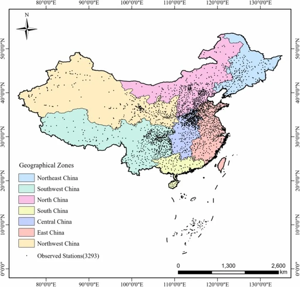
In the vast expanse of mainland China, where agriculture is a cornerstone of the economy, understanding soil moisture is crucial for farmers and policymakers alike. A recent study published in *Agricultural Water Management* has shed new light on the accuracy of satellite soil moisture products, offering insights that could revolutionize agricultural water management. Led by Lijun Chao from the College of Hydrology and Water Resources at Hohai University, the research evaluated three satellite products—AMSR2, SMAP L3, and SMAP L4—using in situ data from 3,293 meteorological stations across China.
The study, which spanned from January 2020 to June 2024, revealed significant differences in the performance of these satellite products. “SMAP L4 consistently demonstrated the highest accuracy, particularly in winter and humid regions like Central China,” Chao noted. This finding is a game-changer for farmers who rely on precise soil moisture data to optimize irrigation and crop yields. The study’s detailed analysis of land cover types further highlighted that SMAP L4 performed exceptionally well on homogeneous surfaces such as agricultural land and grassland, areas critical for agricultural productivity.
In contrast, the AMSR2 product showed a dry bias, significantly underestimating soil moisture across all temporal and spatial scales. This underestimation could lead to over-irrigation, wasting precious water resources and increasing costs for farmers. “AMSR2’s performance was particularly poor in densely vegetated areas, where the error increased significantly,” Chao explained. This underscores the need for more accurate soil moisture data to guide agricultural practices, especially in regions with diverse land cover types.
The study also employed Monte Carlo simulations to analyze trends and ranges of variation, providing statistical robustness to the findings. “SMAP L3 and L4 products maintained stable error distributions, indicating superior accuracy and reliability,” Chao added. This stability is crucial for long-term agricultural planning and water management strategies.
The commercial implications of this research are profound. Accurate soil moisture data can help farmers make informed decisions about irrigation, reducing water usage and increasing crop yields. For the agriculture sector, this means not only higher productivity but also more sustainable water management practices. As the global demand for food continues to rise, the need for precise and reliable soil moisture data becomes ever more critical.
Looking ahead, this research provides a scientific basis for the application and algorithm optimization of soil moisture remote sensing products in China. It highlights the importance of considering land cover types in the development of these products, ensuring that they meet the specific needs of different agricultural regions. As Chao and his team continue to refine these tools, the future of agricultural water management looks brighter, promising more efficient and sustainable practices for farmers worldwide.