In a groundbreaking development for agricultural water management, researchers have unveiled a novel method to monitor inundation dynamics beneath crop canopies globally, leveraging data from the SWOT satellite. This advancement, published in *Agricultural Water Management*, addresses a critical gap in our ability to track water use in croplands, particularly paddy fields, which are pivotal in global food production and water consumption.
Traditionally, continuous flooding irrigation in paddy fields has been a common practice, but it has been phased out in many regions due to its high water consumption and significant methane emissions. However, tracking the inundation status of these fields has been challenging. Existing methods rely on coarse estimates from meta-analyses or government reports, lacking the spatiotemporal consistency needed for effective water management.
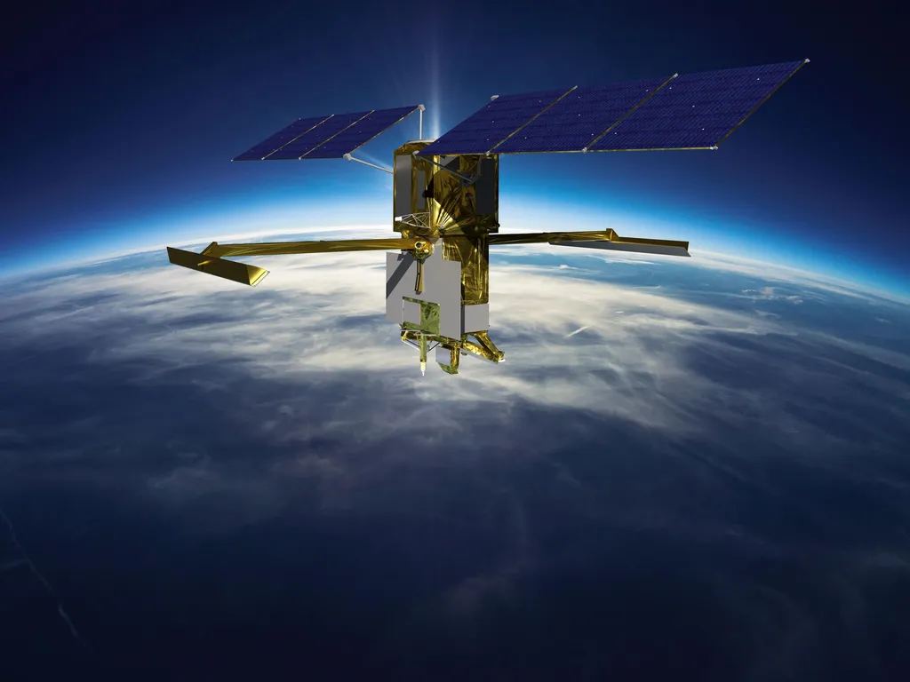
The research, led by Yongzhe Chen from the Jockey Club STEM Lab of Quantitative Remote Sensing at the University of Hong Kong, introduces a method that uses coherent power (COP) from the Ka-band Radar Interferometer (KaRIn) aboard the SWOT satellite. This approach distinguishes between non-inundated, partially-inundated, and fully-inundated fields, offering a year-round monitoring capability across diverse climate zones.
“By mitigating confounding factors such as incidence angle, vegetation water content, wind speed variability, and noise, we can establish COP thresholds for different inundation statuses under various conditions,” Chen explained. The method’s accuracy was validated across four globally representative regions, with results consistent with ground-truth photographs, farmer interviews, and published literature. When compared to the CYGNSS-based Berkeley-RWAWC dataset, the SWOT-based method demonstrated superior performance.
The implications for the agriculture sector are profound. Accurate monitoring of cropland inundation dynamics can support improved water management practices, reduce water consumption, and mitigate greenhouse gas emissions. This is particularly relevant in regions where water scarcity is a growing concern, and where efficient water use is crucial for sustainable agriculture.
“This research opens up new possibilities for precision agriculture,” said Chen. “By providing detailed, real-time data on inundation status, farmers and water managers can make more informed decisions, optimizing irrigation practices and enhancing crop yields.”
The method’s ability to function year-round and across diverse climate zones makes it a versatile tool for global agricultural water management. As climate change continues to impact water availability and agricultural practices, such innovations become increasingly vital.
The research not only addresses immediate practical needs but also sets the stage for future developments in agricultural technology. By integrating satellite data with advanced analytical techniques, the method paves the way for more sophisticated monitoring and management systems. This could lead to the development of predictive models that anticipate water needs and optimize irrigation schedules, further enhancing agricultural productivity and sustainability.
In summary, this research represents a significant step forward in agricultural water management, offering a powerful tool for monitoring cropland inundation dynamics. Its potential to support sustainable agriculture and mitigate the impacts of climate change makes it a valuable contribution to the field. As the agriculture sector continues to evolve, such innovations will be crucial in meeting the challenges of the future.