In the ever-evolving landscape of precision agriculture, a novel dataset generation strategy has emerged, promising to revolutionize how we identify and manage farmland cultivation zones (FCZs). This breakthrough, published in the journal *Agriculture*, addresses a critical challenge in the industry: accurately delineating FCZs in landscapes where standardized and fragmented farmlands coexist.
The research, led by Zirui Li from the School of Mathematics and Physics at the Wuhan Institute of Technology, introduces a tiling-based dataset generation method that integrates boundary probes and minimum-overlap Poisson-disk sampling (BP-MOPS). This innovative approach has led to the creation of the multi-period farmland cultivation zones (MPFCZ) dataset, which encompasses three critical phenological stages: the dormant period (DP), the intermediate growing period (IGP), and the vigorous growing period (VGP).
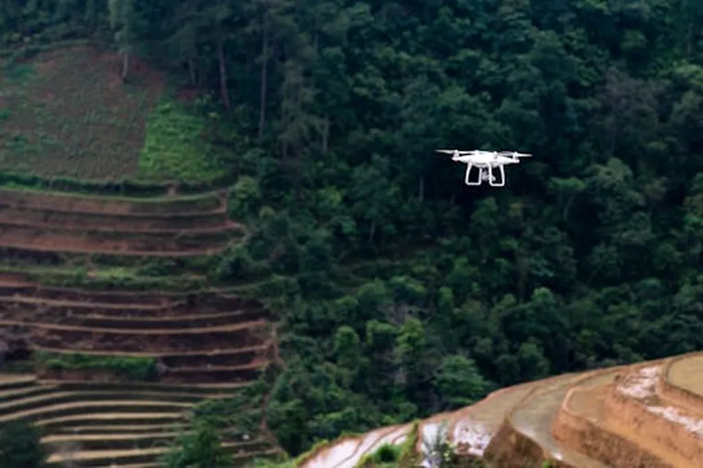
The MPFCZ dataset, derived from unmanned aerial vehicle (UAV) imagery acquired over Zhouhu Village in China, comprises 6,467 image patches (1,024 × 1,024 pixels). These patches include both standardized fields and fragmented cultivation zones often overlooked by conventional methods. This comprehensive dataset has proven to be a game-changer, with both Transformer- and CNN-based models trained on MPFCZ outperforming those trained on datasets generated by conventional segmentation strategies.
“The best-performing model achieved remarkable temporal change detection accuracy, with a mean Intersection over Union (mIoU) greater than 0.82 across the three phenological stages,” Li explained. “Moreover, the model demonstrated strong cross-region generalization capability, achieving a precision of 0.8817 under zero-shot transfer.”
The implications of this research for the agriculture sector are profound. Accurate delineation of FCZs is crucial for advancing precision agriculture, enabling farmers to optimize resource use, improve crop yields, and enhance sustainability. The MPFCZ dataset provides essential support for precise farmland identification in complex agricultural landscapes, where standard and non-standard fields are mixed.
“This dataset and the models trained on it can significantly enhance the efficiency and accuracy of farmland management,” Li added. “It opens up new possibilities for precision agriculture, particularly in regions with diverse and fragmented farmland patterns.”
The commercial impact of this research is substantial. By providing high-quality datasets and advanced models, it paves the way for the development of more sophisticated agricultural technologies. These technologies can help farmers make data-driven decisions, reduce costs, and increase productivity. Furthermore, the cross-region generalization capability of the models means that they can be applied in various agricultural settings, making them valuable tools for global agriculture.
As the agriculture sector continues to embrace technology, the research led by Zirui Li offers a promising path forward. By addressing the challenges of identifying FCZs in mixed farmland landscapes, it sets the stage for more precise, efficient, and sustainable agricultural practices. The MPFCZ dataset and the models trained on it are poised to shape the future of precision agriculture, driving innovation and improving outcomes for farmers worldwide.