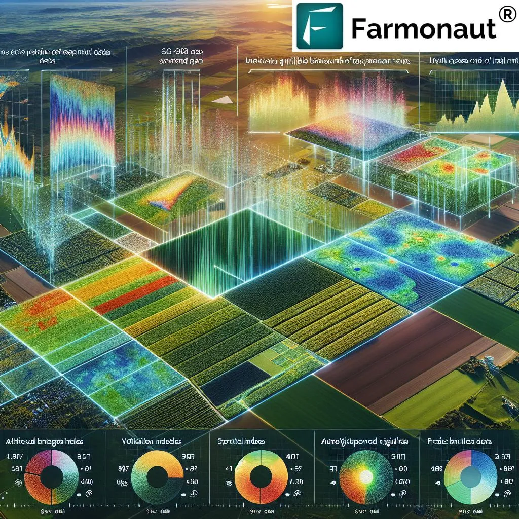
In the rapidly evolving world of agritech, a groundbreaking development has emerged from the intersection of artificial intelligence and remote sensing technology. Researchers have introduced SatViT-Seg, a lightweight semantic segmentation model designed to revolutionize real-time land cover mapping using high-resolution remote sensing (HR-RS) imagery. This innovation, published in the journal ‘Remote Sensing’, holds significant promise for the agriculture sector, offering timely and precise support for disaster response, environmental monitoring, and precision agriculture.
Traditionally, the process of land cover mapping has involved transmitting massive amounts of raw imagery from satellites to ground stations for processing. This method is not only time-consuming but also resource-intensive. SatViT-Seg changes the game by processing data directly on the satellite, transmitting only fine-grained semantic products. This approach ensures that farmers and agricultural stakeholders receive timely and actionable insights, enabling them to make informed decisions quickly.
The model’s unique design sets it apart from existing methods. Unlike hybrid models that combine convolutional neural networks (CNNs) with Transformers, SatViT-Seg adopts a pure Vision Transformer (ViT) backbone. This homogeneous design includes a Local-Global Aggregation and Distribution (LGAD) module and a Bi-dimensional Attentive Feed-Forward Network (FFN). These components work together to enhance representation learning and overcome common issues associated with lightweight ViTs, such as channel compression and weak spatial correlation modeling.
Lead author Daoyu Shu from the School of Remote Sensing and Information Engineering at Wuhan University explains, “Our goal was to create a model that could efficiently process high-resolution imagery on resource-constrained satellites. SatViT-Seg achieves this by leveraging the strengths of Transformers while avoiding the complexities of hybrid architectures.”
The implications for the agriculture sector are profound. Real-time land cover mapping can provide farmers with up-to-date information on crop health, soil conditions, and environmental factors. This data is crucial for precision agriculture, allowing for targeted interventions that optimize crop yields and minimize resource waste. Additionally, the ability to quickly assess land cover in the wake of natural disasters can aid in rapid response and recovery efforts, ensuring that agricultural operations can resume as quickly as possible.
Comparative experiments have shown that SatViT-Seg improves mean Intersection over Union (mIoU) by up to 1.81% while maintaining the lowest Floating Point Operations per Second (FLOPs) among all methods. This efficiency is a testament to the model’s potential for deployment in resource-constrained environments, making it an ideal solution for satellite-borne edge computing.
As the agriculture sector continues to embrace technology, innovations like SatViT-Seg will play a pivotal role in shaping the future of farming. By providing timely and accurate insights, these advancements enable farmers to make data-driven decisions that enhance productivity and sustainability. The research, led by Daoyu Shu and published in ‘Remote Sensing’, represents a significant step forward in the integration of AI and remote sensing technology, offering a glimpse into the future of precision agriculture.
In the words of Shu, “This research opens up new possibilities for real-time land cover mapping and its applications in agriculture. We are excited to see how SatViT-Seg will be utilized in the field and the positive impact it will have on global agricultural practices.”