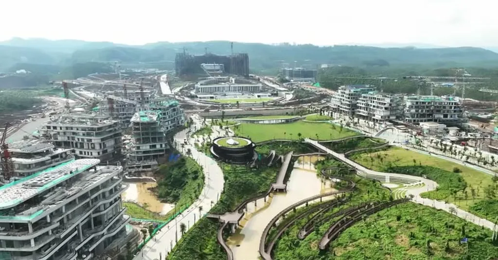
In the heart of East Kalimantan, a significant shift in land use is underway, driven by Indonesia’s ambitious plan to relocate its capital from Jakarta to the burgeoning city of Nusantara. A recent study published in *Jurnal Sylva Lestari* and led by Kiswanto from the Faculty of Forestry and Tropical Environment at Mulawarman University, sheds light on the spatiotemporal dynamics of land cover in the region, offering crucial insights for sustainable development.
The research, which leverages Geographic Information System (GIS) tools, provides a detailed analysis of forestry and agricultural land use in Kutai Kartanegara Regency. The findings reveal a landscape composed of 30% forested areas and 7% agricultural land, with a diverse mix of dryland, mangrove, and swamp forests. “Understanding the spatial and temporal changes in land cover is essential for supporting the smart forest city concept and enhancing food sources within IKN,” Kiswanto explains.
The study identifies specific districts with potential for urban forest development and food production. Tabang District, for instance, is highlighted as a prime candidate for urban forest initiatives, while Anggana, Samboja, and Muara Badak are pinpointed for their agricultural potential. This information is invaluable for policymakers and investors looking to optimize land allocation and ensure sustainable resource management.
One of the most pressing findings is the annual decline in both dryland and wetland forest cover. This trend underscores the need for strategic planning to balance urban development with environmental conservation. “The decline in forest cover is a critical issue that requires immediate attention,” Kiswanto notes. “By identifying areas with high potential for sustainable agriculture and urban forestry, we can mitigate the impact of deforestation and support the long-term viability of the region.”
For the agriculture sector, the research presents significant commercial opportunities. The identification of districts suitable for dryland agriculture, rice fields, and aquaculture opens up new avenues for investment and development. As the new capital city takes shape, the demand for locally sourced food and sustainable agricultural practices is expected to grow, creating a robust market for innovative farming techniques and technologies.
The study’s findings also have broader implications for the field of agritech. By providing a comprehensive overview of land use dynamics, the research offers a foundation for future studies and initiatives aimed at promoting sustainable agriculture and forestry. As Kiswanto and his team continue to explore the complexities of land cover changes, their work will undoubtedly shape the future of the Nusantara capital and the broader region.
In the rapidly evolving landscape of East Kalimantan, this research serves as a beacon for sustainable development, guiding policymakers, investors, and agricultural innovators toward a future where urban growth and environmental conservation coexist harmoniously.