In the rapidly evolving world of precision agriculture and environmental monitoring, the ability to accurately interpret and segment remote sensing images is becoming increasingly vital. A groundbreaking study published in the *IEEE Journal of Selected Topics in Applied Earth Observations and Remote Sensing* introduces a novel framework that could revolutionize how we analyze satellite and aerial imagery. The research, led by Tianxiang Zhang from the Key Laboratory of Knowledge Automation for Industrial Processes at the University of Science and Technology Beijing, presents a solution to one of the most persistent challenges in remote sensing: the precise segmentation of objects guided by textual descriptions.
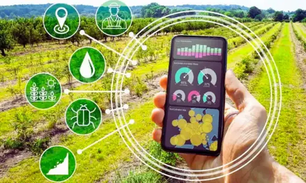
The study focuses on Referring Remote Sensing Image Segmentation (RRSIS), a task that requires the identification and segmentation of specific objects in remote sensing images based on textual descriptions. This is particularly crucial for applications in precision agriculture, where farmers and agronomists rely on detailed imagery to monitor crop health, detect pests, and optimize resource use. “The vision-language gap in remote sensing imagery has been a significant hurdle,” explains Zhang. “Our framework, STDNet, is designed to bridge this gap, enhancing the interaction between visual and textual data to improve the accuracy and robustness of segmentation.”
STDNet introduces several innovative components to address the challenges of RRSIS. The Spatial Multi-Scale Correlation module improves the alignment of vision-language features, ensuring that the textual descriptions accurately correspond to the visual data. The Target-Background Twin-Stream Decoder enhances the distinction between targets and non-targets, while the Dual-Modal Object Learning Strategy ensures robust multimodal feature reconstruction. These advancements enable STDNet to handle the complexities of remote sensing imagery, including diverse categories, small targets, and blurred edges.
The implications for the agriculture sector are profound. Precision agriculture relies on detailed and accurate data to make informed decisions. With STDNet, farmers can better monitor their fields, identify areas of concern, and implement targeted interventions. “This technology has the potential to transform how we approach agricultural monitoring,” says Zhang. “By providing more precise and reliable data, we can help farmers optimize their practices, reduce waste, and increase productivity.”
Beyond agriculture, the applications of STDNet extend to environmental monitoring, land cover classification, and urban planning. The ability to accurately segment and analyze remote sensing imagery can lead to better resource management, improved disaster response, and more effective urban development strategies. The research demonstrates that STDNet achieves state-of-the-art performance on benchmark datasets, highlighting its potential to become a standard tool in the field.
As the demand for precise and actionable data continues to grow, the development of advanced frameworks like STDNet will be crucial. This research not only addresses current challenges but also paves the way for future innovations in remote sensing and image analysis. “We are excited about the possibilities that STDNet opens up,” Zhang concludes. “It represents a significant step forward in our ability to interpret and utilize remote sensing data, and we look forward to seeing its impact on various industries.”
The study, published in the *IEEE Journal of Selected Topics in Applied Earth Observations and Remote Sensing*, underscores the importance of interdisciplinary research in advancing technological capabilities. As we continue to explore the potential of remote sensing, frameworks like STDNet will play a pivotal role in shaping the future of data-driven decision-making.