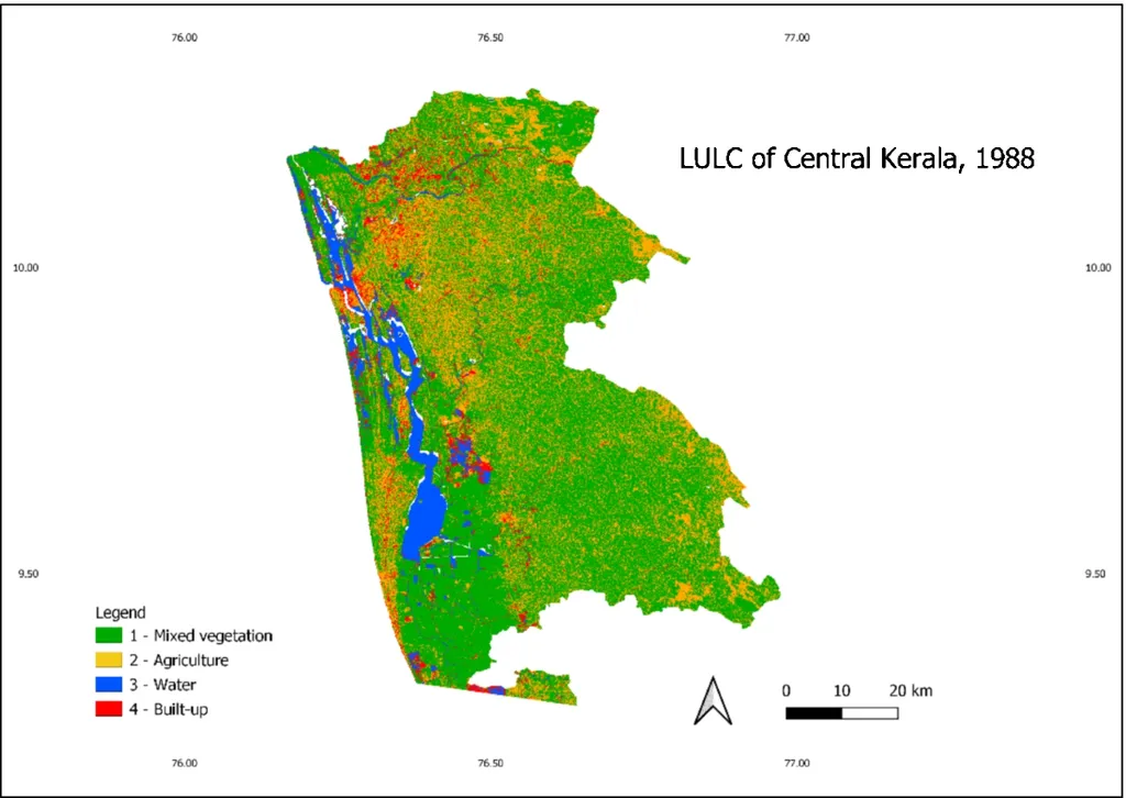
In the verdant landscapes of Kerala’s Kannur and Kasaragod districts, a silent transformation has been unfolding over the past few decades. A recent study published in *Discover Geoscience* has brought this change into sharp focus, revealing the dynamic shifts in land use and land cover (LULC) from 1985 to 2011. Led by Pawan Kumar Gautam of the Department of Geology at the University of Lucknow, the research leverages satellite remote sensing and GIS techniques to paint a detailed picture of how human activity and natural processes have reshaped the region.
The study utilized multi-temporal satellite data from various sources, including Landsat and Resourcesat, to delineate 13 distinct LULC categories. The findings are striking: while some land covers have dwindled, others have expanded, reflecting the complex interplay of urbanization, agriculture, and environmental conservation.
One of the most notable trends is the substantial decline in plantations, which decreased from 3476 km² to 3148.23 km². This reduction could have significant commercial implications for the agriculture sector, as plantations are a vital source of livelihood and economic activity in the region. “The decline in plantations is a critical observation,” notes Gautam. “It underscores the need for sustainable land-use practices that balance economic growth with environmental conservation.”
In contrast, built-up land has seen a sharp increase, from 142 km² to 417.07 km². This rapid urban expansion is a clear indicator of growing anthropogenic pressure and the region’s development trajectory. The study also highlights an increase in cropland, fallow land, and evergreen forest, suggesting a shift in agricultural practices and land management strategies.
The research demonstrates the utility of geospatial techniques in long-term LULC monitoring, providing essential input for sustainable land-use planning and coastal environmental management. “Our findings highlight the importance of integrating remote sensing and GIS techniques in land-use planning,” Gautam explains. “This approach can help policymakers and stakeholders make informed decisions that promote sustainable development.”
The study’s high classification accuracy, with overall accuracies ranging from 70% to 98.16% and Kappa coefficients indicating strong reliability, underscores the robustness of the methodology. This level of precision is crucial for accurate land-use planning and environmental management, ensuring that interventions are targeted and effective.
As the region continues to evolve, the insights from this research will be invaluable for shaping future developments. The agriculture sector, in particular, stands to benefit from a more nuanced understanding of land-use dynamics, enabling stakeholders to adopt practices that are both economically viable and environmentally sustainable.
In an era of rapid environmental change, the integration of geospatial technologies offers a powerful tool for monitoring and managing our natural resources. Gautam’s research not only sheds light on the past and present state of Kerala’s landscapes but also paves the way for a more sustainable future. As we grapple with the challenges of urbanization and climate change, such studies will be instrumental in guiding our efforts towards a balanced and resilient future.