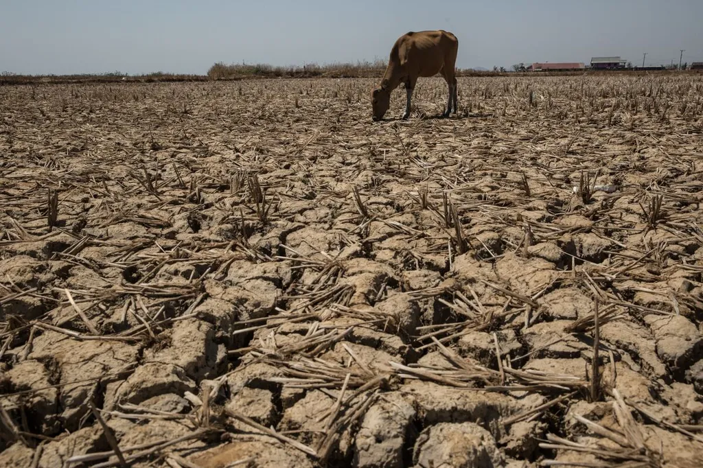
In the heart of East Java, Indonesia, a silent crisis has been unfolding—rice productivity is on the decline. Ambulu District, a significant contributor to the region’s rice output, has been grappling with this issue, and a recent study published in the *Indonesian Journal of Applied Physics* has shed light on a potential culprit: drought. The research, led by Bowo Eko Cahyono from the Physics Department of Jember University, leverages remote sensing technology to unravel the complex relationship between drought indices and rice productivity, offering a beacon of hope for farmers and agritech innovators alike.
The study, which analyzed Sentinel-2A satellite imagery from 2016 to 2020, employed two key drought indices: the Normalized Difference Water Index (NDWI) and the Normalized Difference Drought Index (NDDI). These indices were used to assess the dryness of agricultural land, with the data processed using ArcGIS software to classify the land into five distinct categories.
The findings were striking. The NDWI value showed a directly proportional relationship with rice productivity, indicating that as the water content in the soil increased, so did the rice yield. “The NDWI value on rice productivity has a directly proportional relationship with an effect of 61.96%,” Cahyono explained. “This means that water availability is a critical factor in determining rice productivity.”
Conversely, the NDDI value exhibited an inverse relationship with rice productivity. As the drought index increased, rice productivity decreased. “The NDDI values on rice productivity have an inverse relationship with an effect of 68.68%,” Cahyono noted. “This suggests that drought conditions significantly impede rice growth and yield.”
The commercial implications of these findings are profound. For the agriculture sector, understanding the correlation between drought indices and rice productivity can revolutionize farming practices. Farmers can use this information to optimize irrigation strategies, ensuring that water is used efficiently and effectively. This not only boosts productivity but also conserves water, a precious resource in drought-prone regions.
Moreover, the integration of remote sensing technology into agricultural practices can pave the way for precision farming. By continuously monitoring drought indices, farmers can make data-driven decisions, applying water and other resources precisely where and when they are needed. This approach can lead to increased yields, reduced costs, and a more sustainable agricultural system.
The study also opens up new avenues for agritech innovations. Startups and established companies alike can develop tools and platforms that leverage remote sensing data to provide farmers with real-time insights into soil moisture levels and drought conditions. These tools can be integrated into existing agricultural management systems, offering a comprehensive solution for enhancing productivity and sustainability.
Looking ahead, the research conducted by Cahyono and his team could shape the future of agriculture in drought-prone regions. By harnessing the power of remote sensing and data analytics, farmers can adapt to changing climatic conditions, ensuring food security and economic stability. As Cahyono aptly put it, “This research is just the beginning. The potential for using remote sensing technology in agriculture is vast, and we are only scratching the surface.”
In the quest to boost rice productivity and mitigate the impacts of drought, this study serves as a guiding light. It underscores the importance of integrating technology into agricultural practices and highlights the critical role of water management in ensuring food security. As the agriculture sector continues to evolve, the insights gleaned from this research will undoubtedly play a pivotal role in shaping a more sustainable and productive future.