In the heart of China’s rural revitalization strategy, a groundbreaking study has emerged, offering a novel approach to monitoring settlement changes with unprecedented accuracy. Published in *Agriculture Communications*, the research led by Miao Liu from the College of Geodesy and Geomatics at Shandong University of Science and Technology, leverages cutting-edge remote sensing technology to extract and analyze settlement data, providing critical insights for urban and rural development.
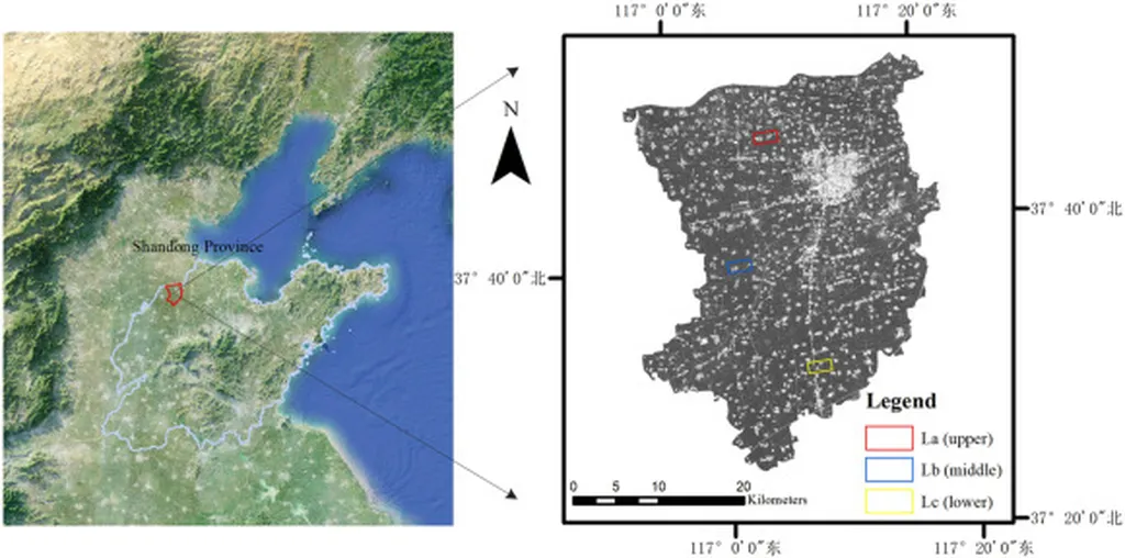
The study focuses on Laoling City, utilizing high-resolution multisource remote sensing images from the Google Earth Engine (GEE). The researchers employed the Segment Anything Model (SAM) algorithm in conjunction with a random forest (RF) classifier to extract settlement data. This integrated approach proved to be highly effective, achieving an overall accuracy of 0.98 and a kappa coefficient of 0.97. “The SAM-RF method significantly outperformed traditional methods, offering a more efficient and accurate way to monitor settlement changes,” Liu explained.
The research identified July, August, and September as the optimal periods for settlement extraction, providing a clear window for data collection. The study also revealed that most township settlements in Laoling City have been expanding gradually, with Shizhong Subdistrict experiencing the most remarkable changes. These findings are crucial for understanding the spatial dynamics of rural settlements and planning future developments.
The implications of this research extend beyond academic interest. For the agriculture sector, accurate and efficient settlement extraction can facilitate better land use planning, resource management, and environmental protection. “This technology can help farmers and agricultural businesses make informed decisions about land use, ensuring sustainable development and resource management,” Liu noted.
The study’s findings also support the broader goals of rural revitalization, providing a robust tool for monitoring and managing settlement changes. As urbanization accelerates, the need for precise and timely data becomes ever more critical. This research offers a promising solution, paving the way for more effective urban and rural planning.
The integration of SAM and RF algorithms represents a significant advancement in remote sensing technology. By automating the extraction process, the study eliminates the need for manual calibration, saving time and reducing labor costs. This innovation has the potential to revolutionize the way we monitor and manage rural settlements, supporting the coordinated development of urban and rural areas.
As the agriculture sector continues to evolve, the need for accurate and efficient data collection becomes increasingly important. This research provides a valuable tool for farmers, agricultural businesses, and policymakers, offering insights that can drive sustainable development and resource management. The study’s findings are a testament to the power of remote sensing technology and its potential to shape the future of rural revitalization.