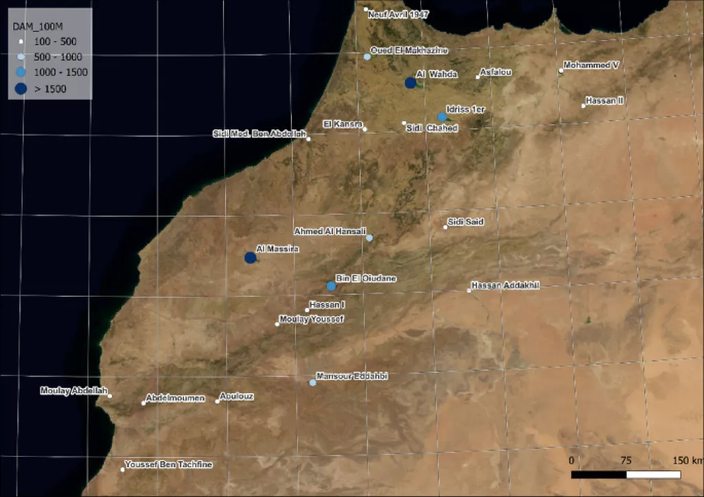
In the heart of northern Morocco, the Al Wahda Dam stands as a critical lifeline for the region’s agriculture, but its future is under threat from shifting climate patterns. A recent study published in the *BIO Web of Conferences* sheds light on the dam’s precarious situation, offering valuable insights for farmers, policymakers, and agritech innovators alike. The research, led by El Ouazani Ech-Chahdi Khadija from Sidi Mohamed Ben Abdellah University’s Department of Geography, reveals how remote sensing data can help monitor and predict the dam’s water dynamics, potentially safeguarding the region’s agricultural future.
The Al Wahda Dam, completed in 1997, was designed to irrigate the fertile Gharb plain, protect against floods, and regulate water flow. However, the dam’s performance has been increasingly challenged by rainfall deficits, rising temperatures, and growing irrigation demands. “The dam’s effective storage capacity is shrinking due to evaporation losses, particularly during the summer months,” explains Khadija. “This poses a significant risk to the agricultural sector, which relies heavily on the dam’s water supply.”
To better understand these challenges, Khadija and her team employed the Normalized Difference Water Index (NDWI) derived from remote sensing data to monitor the dam’s spatiotemporal evolution. They also calculated the Standardized Precipitation Index (SPI) to assess the impact of rainfall variability on the dam. The findings were striking: during wet years, the dam’s water surface area expanded significantly, reaching up to 110 km² in 1998. Conversely, during dry years, the surface area shrank dramatically, dropping to just 72 km² in 2016.
The study also revealed a statistically significant correlation between the dam’s water surface area and the SPI-12, indicating that climatic conditions play a crucial role in the dam’s dynamics. This correlation underscores the need for adaptive strategies to mitigate the impacts of climate variability on the dam and, by extension, the region’s agriculture.
For the agriculture sector, these findings are a wake-up call. The dam’s water supply is vital for irrigating crops, and any disruption can have severe commercial repercussions. Farmers may face reduced yields, increased costs, and even crop failures, all of which can ripple through the local and national economy. However, the study also offers a glimmer of hope. By leveraging remote sensing data and advanced analytics, stakeholders can better anticipate water availability and plan accordingly.
“This research highlights the potential of remote sensing and data analytics in water resource management,” says Khadija. “By integrating these technologies into decision-making processes, we can enhance the resilience of our agricultural systems and ensure food security in the face of climate change.”
The study’s findings could pave the way for future developments in agritech, particularly in the realm of precision agriculture and smart irrigation. By harnessing the power of data, farmers and policymakers can make more informed decisions, optimize water usage, and mitigate the impacts of climate variability. As the agriculture sector continues to evolve, the integration of remote sensing and advanced analytics will be crucial in ensuring sustainable and resilient food production.
In the face of climate change, the Al Wahda Dam’s challenges are a microcosm of the broader issues confronting the agriculture sector. However, with innovative research and cutting-edge technologies, there is hope for a more resilient and sustainable future. As Khadija’s study demonstrates, the key lies in understanding and adapting to the dynamics of our changing climate.