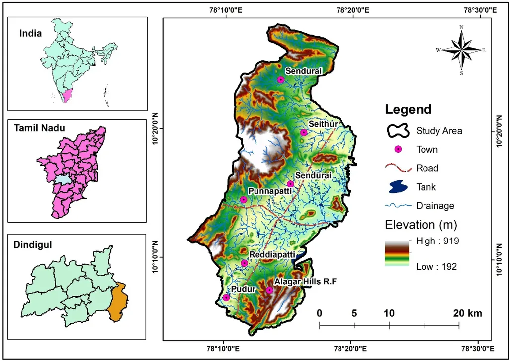
In the heart of India’s Mahi River Basin, a region grappling with the dual pressures of urbanization and intensive agriculture, a groundbreaking study has emerged, offering a beacon of hope for sustainable groundwater management. Researchers, led by Pradeep Kumar Badapalli from the CSIR-National Geophysical Research Institute, have successfully integrated geospatial techniques with artificial neural networks (ANN) to map groundwater potential zones (GWPZs), providing a robust tool for data-driven decision-making.
The study, published in *Scientific Reports*, harnesses the power of multisource satellite imagery and field observations to derive ten predictive factors, including geology, geomorphology, and various spectral indices like NDVI, SAVI, and NDWI. These factors were fed into an ANN model, which assigned nonlinear contribution weights, ultimately generating a GWPZ map with five distinct classes. The results are striking: 62% of the basin falls within ‘Moderate’ to ‘Very Poor’ groundwater potential zones, underscoring the urgent need for strategic recharge planning.
“The integration of ANN with remote sensing and GIS offers a robust, data-driven model for sustainable groundwater resource management,” Badapalli asserts. This model not only provides a comprehensive overview of the current groundwater scenario but also paves the way for proactive management strategies.
For the agriculture sector, the implications are profound. With water scarcity looming large, farmers often face the daunting task of optimizing irrigation strategies. This research offers a lifeline, enabling farmers to identify areas with higher groundwater potential, thereby optimizing water usage and enhancing crop productivity. Moreover, the study’s findings can guide policymakers in designing targeted interventions, such as rainwater harvesting and artificial recharge projects, to replenish groundwater reserves.
The commercial impact extends beyond mere water management. By providing a reliable map of groundwater potential, this research can attract investments in precision agriculture technologies, which are increasingly reliant on accurate water data. Furthermore, it can facilitate the development of drought-resistant crop varieties tailored to specific groundwater potential zones, opening new avenues for agribusiness innovation.
The study’s validation using 350 well locations and statistical tests like the Kruskal–Wallis H test and Moran’s I adds a layer of credibility to the findings. The model’s strong performance, as indicated by an Area Under the ROC Curve (AUC) of 0.850, underscores its potential for application in other semi-arid and data-poor regions.
Looking ahead, this research could revolutionize groundwater management practices, not just in India but globally. The integration of ANN with remote sensing and GIS offers a scalable and adaptable framework that can be tailored to diverse geographical and hydrogeological contexts. As Badapalli notes, “This model offers a robust, data-driven approach to sustainable groundwater resource management,” a sentiment that resonates strongly in the face of escalating water stress.
In the quest for sustainable agriculture and water security, this study stands as a testament to the transformative power of interdisciplinary research. By bridging the gap between technology and practical application, it offers a blueprint for a future where data-driven decisions guide our path towards sustainable resource management.