In the arid landscapes of Uthal, Balochistan, a silent shift is occurring in the fields of banana cultivation. Researchers, led by Salma Hamza from the Department of Earth and Environmental Sciences at Bahria University Karachi Campus, have turned to the skies for answers, utilizing multi-temporal remote sensing to track the changes in Musa acuminata, or banana, cultivation over the past decade. Their findings, published in the *Journal of the Saudi Society of Agricultural Sciences*, offer a compelling glimpse into the future of precision agriculture in water-scarce regions.
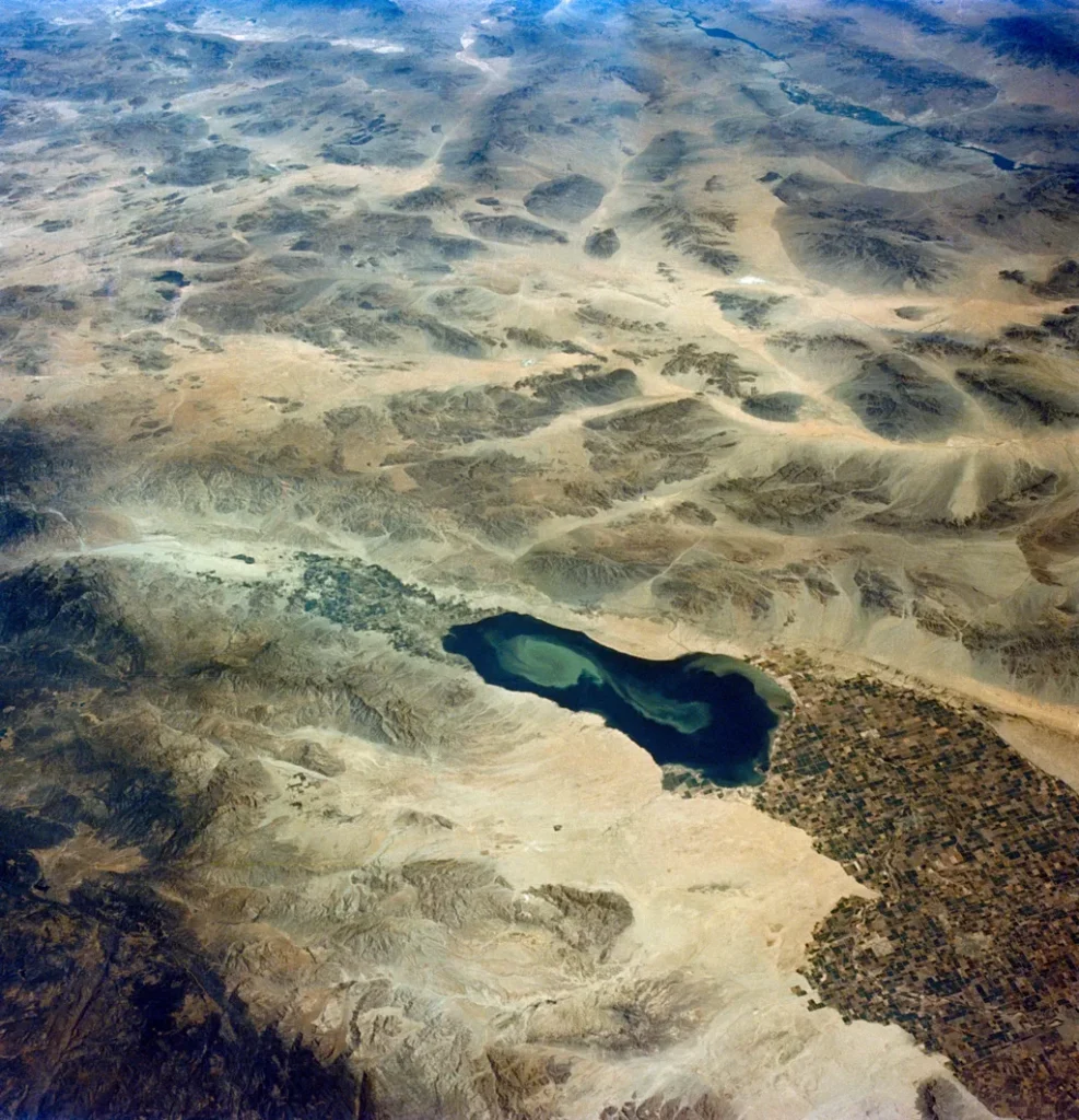
The study, which combines ground-truthing with GPS surveys and satellite imagery, reveals a stark reality: the area dedicated to banana cultivation in Uthal has decreased significantly, from 1,115 hectares in 2013 to just 879 hectares in 2022. This decline is attributed to the scarcity of rainfall and the subsequent depletion of aquifers, which are not recharging at a sufficient rate.
“Climate change is not a distant threat; it’s here, and it’s reshaping our agricultural landscapes,” Hamza explains. “By leveraging remote sensing tools like NDVI (Normalized Difference Vegetation Index) and EVI (Enhanced Vegetation Index), we can monitor these changes with unprecedented accuracy.”
The integration of GPS data with satellite imagery has allowed researchers to create a robust model for tracking agricultural activities. This model, Hamza believes, could be a game-changer for farmers and policymakers alike. “Our EVI-NDVI-GPS model provides a comprehensive view of the cultivation landscape, enabling us to make data-driven decisions that can mitigate the impacts of climate change.”
The commercial implications of this research are profound. Banana cultivation is a significant source of income for local farmers in Uthal. As climate change continues to alter precipitation patterns, the ability to monitor and adapt cultivation practices becomes crucial. The methods outlined in this study could help farmers optimize their resources, reduce water usage, and ultimately, secure their livelihoods.
Moreover, the application of remote sensing technology is not limited to banana cultivation. The principles and methodologies developed in this study can be extended to other crops and regions, paving the way for a more resilient and sustainable agricultural sector.
“This research is not just about bananas; it’s about building a framework for the future of agriculture,” Hamza notes. “By understanding the patterns of change, we can better prepare for the challenges ahead.”
As the world grapples with the realities of climate change, studies like this one offer a beacon of hope. They demonstrate the power of technology to inform, adapt, and innovate, ensuring that even in the face of adversity, the fields of Uthal—and beyond—can continue to thrive.