In the heart of Morocco, where the desert meets the lush greenery of irrigated farms, a groundbreaking study is reshaping how we map and manage water resources. Published in *Environmental Research Communications*, the research introduces a novel hybrid framework that combines physics-inspired optimization algorithms with advanced machine learning techniques to create high-resolution irrigation maps. This isn’t just about drawing lines on a map; it’s about revolutionizing water management in a region grappling with climate change, water scarcity, and the ever-growing demands of agriculture.
At the helm of this innovative research is Chiranjit Singha, a scientist at the International Center for Agricultural Research in the Dry Areas (ICARDA) based in Cairo, Egypt. Singha and his team have developed a method that leverages remote sensing data, field surveys, and a suite of cutting-edge machine learning algorithms. The hybrid ensemble approach combines the Photon Search Algorithm (PSA), Quantum-Behaved Avian Navigation Optimizer (QANO), Kepler Optimization Algorithm (KOA), and Nuclear Reaction Optimization (NRO) with Extreme Gradient Boosting (XGB). This powerful combination is designed to accurately classify different types of irrigation systems—drip, flood, and sprinkler—across the Moroccan landscape.
The study’s findings are nothing short of impressive. Drip irrigation, known for its efficiency, was the most accurately classified type, with the XGB-QANO model achieving an F1-score of 0.9639 and an AUC of 0.99. Flood irrigation, however, posed a greater challenge, with XGB-NRO achieving the highest F1-score of 0.7029 and an AUC of 0.934. Sprinkler irrigation classification was highly consistent, with XGB-NRO leading the pack with an F1-score of 0.9071 and an AUC of 0.967.
“Accurate mapping of irrigated areas is essential for effective water resource management,” Singha emphasizes. “Our study not only provides a robust method for classifying irrigation types but also highlights the key variables that influence these classifications. This can have significant commercial impacts for the agriculture sector, particularly in regions like Morocco where water is a precious and limited resource.”
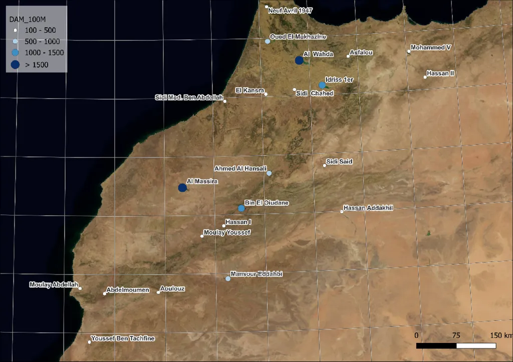
The research also sheds light on the spatial distribution of irrigation, revealing that irrigation has notably expanded upstream in the Upper Rabat-River Basin, especially near tributaries. This trend underscores the long-term sustainability concerns for Moroccan agriculture, as new croplands remain irrigated during droughts, unlike downstream areas.
The commercial implications of this research are vast. For farmers, accurate irrigation mapping can lead to more efficient water use, reducing costs and environmental impact. For policymakers, it provides a tool to better manage water resources and plan for future agricultural development. For technology companies, it opens up new avenues for developing advanced irrigation management systems that can be tailored to specific regions and conditions.
As we look to the future, this research could shape the development of more sophisticated and sustainable agricultural practices. By integrating advanced machine learning techniques with remote sensing data, we can create a more resilient and efficient agricultural sector. This is not just about mapping; it’s about building a sustainable future for agriculture in the face of climate change and water scarcity.
In the words of Singha, “This study is a stepping stone towards more accurate and efficient water management practices. It’s about leveraging technology to address real-world challenges and create a more sustainable future for agriculture.”
Published in *Environmental Research Communications*, this research marks a significant step forward in the field of agritech, offering a glimpse into the future of water management and agricultural sustainability.