In the heart of India’s agricultural landscape, a groundbreaking study is reshaping how we understand and manage crop water use. Professor Charan Babu Ankela from Professor Jayashankar Telangana Agricultural University (PJTAU) has led a pioneering research effort that leverages the power of Unmanned Aerial Vehicles (UAVs) to assess maize evapotranspiration (ET) and surface energy fluxes with unprecedented precision. Published in *Scientific Reports*, this research could revolutionize irrigation management, offering farmers a cost-effective and highly accurate tool to optimize water use under varying irrigation regimes.
Evapotranspiration, the sum of evaporation from the land surface and transpiration from plants, is a critical component of the water cycle and a key factor in determining crop water requirements. Accurate ET estimation is essential for improving irrigation efficiency, particularly as water scarcity and climate variability become increasingly pressing challenges. Traditional methods, such as soil water balance, empirical formulations, and eddy covariance flux towers, often fall short due to limitations in spatial representativeness, accuracy, or operational cost.
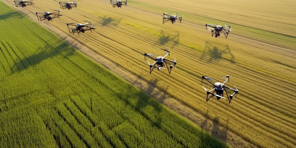
Enter UAVs equipped with multispectral and thermal sensors. These high-resolution tools provide a game-changing alternative for field-scale assessment of surface energy balance components and ET. In Ankela’s study, conducted during the rabi season of 2022–23, maize crops were monitored under two irrigation regimes: one based on 20% depletion of available soil moisture (DASM) and the other on 40% DASM. The results were striking. The 20% DASM treatment not only resulted in a 1.7°C lower land surface temperature but also showed a 16.5% higher Normalized Difference Vegetation Index (NDVI) and an 11% increase in daily ET compared to the 40% DASM treatment, which experienced water stress and a 20% reduction in seasonal ET.
“The UAV-based METRIC (Mapping Evapotranspiration at High Resolution with Internalized Calibration) model allowed us to capture the spatiotemporal variability in ET and surface energy fluxes with remarkable accuracy,” Ankela explained. “This level of detail is crucial for precision irrigation management, enabling farmers to tailor water application to the specific needs of their crops and soil conditions.”
The study’s findings are not just academically significant; they hold substantial commercial implications for the agriculture sector. By providing a cost-effective and scalable method for monitoring ET, UAV-based METRIC can help farmers optimize irrigation schedules, reduce water waste, and enhance crop yields. This is particularly relevant in regions facing water scarcity, where efficient water use can mean the difference between a bountiful harvest and crop failure.
Moreover, the strong agreement between UAV-based METRIC estimates and traditional methods like the Penman-Monteith approach (R² = 0.84; RMSE = 0.22 mm day⁻¹; MAPE = 6.1%) and the soil water balance method (ranging from -3% to +3%) underscores the reliability of this innovative technique. “Our results demonstrate that UAV-based METRIC can be a valuable tool for farmers and agricultural consultants, providing actionable insights to improve water management practices,” Ankela noted.
As the agriculture sector continues to grapple with the challenges of climate change and water scarcity, the adoption of advanced technologies like UAV-based METRIC could pave the way for more sustainable and efficient farming practices. This research not only highlights the potential of UAVs in precision agriculture but also sets the stage for future developments in the field, offering a glimpse into a future where technology and agriculture converge to create a more resilient and productive food system.