In the ever-evolving landscape of precision agriculture, a new systematic review published in *Smart Agricultural Technology* is shedding light on the transformative potential of remote sensing technologies for vineyard management. Led by Diogo Santos Costa from NOVA Information Management School in Lisbon, Portugal, the research synthesizes and appraises the latest advancements in automatic vineyard identification, offering a comprehensive overview of the state of the art, challenges, and future directions.
The study, which analyzed 108 sources including 80 empirical studies, reveals a significant shift from traditional pixel-based approaches to more sophisticated methodologies that integrate very-high-resolution UAV (Unmanned Aerial Vehicle) imagery, 3D reconstruction, and Deep Learning (DL). This transition is not just academic; it has profound implications for the commercial agriculture sector, particularly in the wine industry.
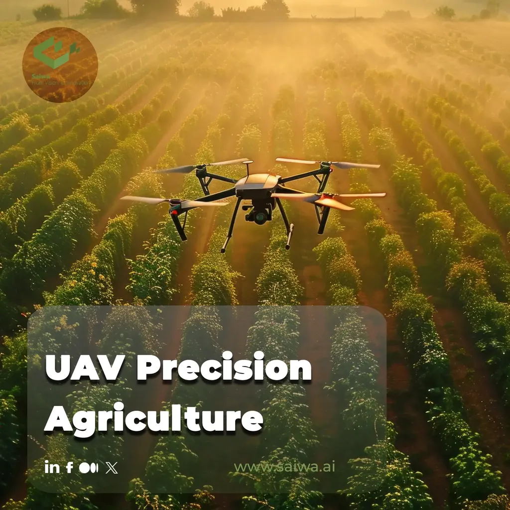
“One of the most striking findings is the dominance of UAVs in row and plant-level analyses, while Sentinel-2 satellite imagery has become the go-to tool for multitemporal regional monitoring,” says Costa. This dual approach allows for both detailed, localized insights and broader, long-term monitoring, which can be invaluable for sustainable vineyard management and planning.
The review highlights that tasks such as classification, detection, and segmentation are increasingly being tackled by advanced AI models like Convolutional Neural Networks (CNNs) and Vision Transformers (ViTs). These models have shown superior performance in canopy segmentation and parcel classification, offering more accurate and efficient solutions for vineyard management.
However, the study also identifies several challenges that need to be addressed. “Model validation is the weakest methodological domain across studies,” notes Costa. Additionally, the high computational costs and the reliance on large volumes of annotated data pose significant hurdles. These limitations underscore the need for further research and development to make these technologies more accessible and practical for commercial use.
Looking ahead, the integration of multisensory fusion (combining UAV and satellite data) and the incorporation of 3D information into DL pipelines are promising directions. These advancements could enhance the robustness and operational applicability of remote sensing technologies, enabling high-value objectives such as mapping in complex terrain, detecting abandoned vineyards, and identifying missing plants.
The commercial impacts of these advancements are substantial. For vineyard owners and managers, the ability to accurately identify and monitor vineyard areas can lead to more efficient resource allocation, improved yield predictions, and better pest and disease management. This, in turn, can enhance productivity and profitability, making precision viticulture a more viable and attractive option for the agriculture sector.
As the field continues to evolve, the insights from this systematic review will be instrumental in guiding future developments. By addressing the identified challenges and leveraging the latest technological advancements, the agriculture sector can look forward to a future where remote sensing technologies play a pivotal role in sustainable and efficient vineyard management.
For those interested in the technical details and broader implications of this research, the full study is available in *Smart Agricultural Technology*, led by Diogo Santos Costa from NOVA Information Management School, Campus de Campolide, 1070-312 Lisboa, Portugal.